

Martin Jones
Head of ARGANS Coastal Programme
Follow ARGANS on the link below:
In a turbulent climate, coastal managers can plan realistic possibilities and make better investment decisions by relying on insights from space data.
Using insights gleaned from Earth observation research is a win–win for coastal managers, says Martin Jones, coastal programme manager at satellite data processing company ARGANS.
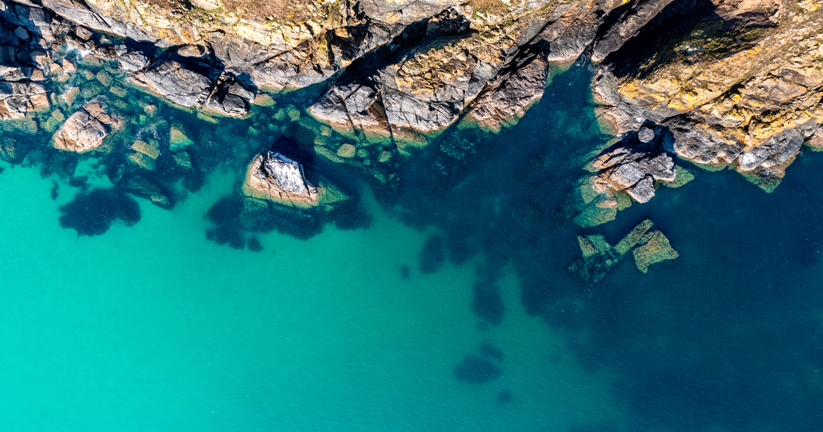
Why we need space data
Space data can guide wiser investment decisions that protect and develop the coastline sustainably. This is especially true for coastlines whose change may accelerate due to climate change or for areas where resilience needs to be added as demographic changes develop more infrastructure near the coast.
“Nature-based solutions, for example, may have acted as a good buffer in the past from coastal erosion and other risks, but as more people move to the coast and more infrastructure — such as ports and railways — is built there, the landscape and associated resilience changes. Moreover, with climate change comes more extreme storms and rising sea levels. It means coastal investments are at risk and can become costly,” warns Jones.
With climate change comes more extreme storms and rising sea levels. It means coastal investments
are at risk and can become costly.
Holistic picture of coastlines
To efficiently analyse risks — ARGANS monitors and maps coastal processes using images from the European Space Agency to build a full picture of the coasts’ profile, factoring in elements such as coastal erosion, marine litter, saltmarshes, mangroves and carbon sequestration in seagrass.
“We look at all these variables, put this information together and provide data-driven evidence that can support investment decisions, rather than making assumptions based on anecdotes,” says Jones.
Looking back to plan ahead
As well as understanding the current coastal scenario, planning requires observing historical patterns. ARGANS has access to data going back three decades, allowing a deep dive into the coastline’s history. “This is one of the reasons we like using the scientific instruments from the European Space Agency as the Sentinel Mission is well calibrated, and you can see a change in an image going back years,” says Jones.
“These images and data enable us to provide evidence for managers to form the basis of their management plan against the — obvious current and increasing — effects of climate change.”